|
STORY BY KATE DALY PHOTOS BY KATE DALY AND PETER DALY Attention hikers, equestrians and motorcyclists: The Mill Lake Trail just got a little longer. It’s now 4.16 miles roundtrip. That’s because the access to the trail has been relocated farther down the road to the existing Prairie Creek trailhead (That trailhead sits 2.54 miles from Highway 75 on Prairie Creek Road, which is 18.5 miles north of Ketchum).
|
|
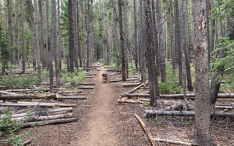
The new trail works its way through lodgepole forest.
|
|
|
Crews have blocked the old trailhead with natural debris and removed the signage. Switching the starting point for trail #136 is part of the move to balance recreational use with natural preservation in the Sawtooth National Recreation Area stretching from SNRA headquarters to Galena Summit, according to Area Ranger Kirk Flannigan. The work to make changes stipulated by the Big Wood Travel Management Plan has been going on for a while. Flannigan called the old Mill Lake trailhead “a riparian area, a spruce bog.”
|
|
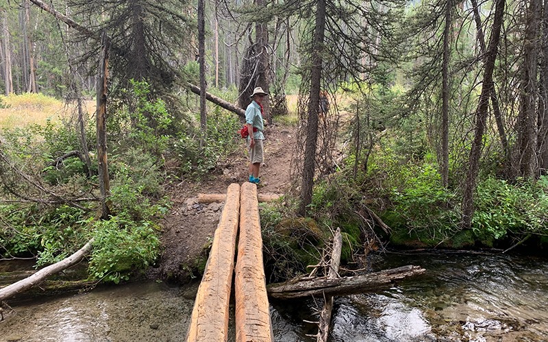
The new configuration takes away the stream crossing that some found distasteful in the past.
|
|
|
The plan is to bring in some heavy equipment soon to turn the soil, maybe reseed it and install large boulders to keep people off “and get some production in the vegetation,” he said. Campsites at the old Mill Lake trailhead will be designated, numbered, and dotted with metal fire rings to help manage the impact of camping and driving on vegetation, he says. That’s similar to what has been done in the Baker Creek Road area and has been partially completed at North Fork. Prairie Creek and Silver Creek are also targeted for future work, with the parking lot at the Prairie Creek trailhead slated to be expanded. The Mill Lake trail is considered moderate with an elevation gain of more than a thousand feet. In mid-summer the trail is popular for its abundance of wildflowers. But this time of year the blooms have faded and the lake has shrunk down to maybe a quarter in size, revealing sand and mudflats.
The lake was formed by a large landslide and drains out and under a rocky pile of debris. Water surfaces about three quarters of a mile downhill to form Mill Creek. To find the new trail start, look for a small wooden Mill Creek sign at the Prairie Creek trailhead. Cross the West Fork of Prairie Creek heading the same way as the Prairie and Miner lakes trails. After a few minutes of walking, turn left to follow the newly constructed and marked connector trail to Mill Lake. The relatively flat path cuts through the woods and eventually spans Prairie Creek with a bridge made out of two parallel logs. After passing through a small meadow, the path ascends through fresh cut trees felled and placed on either side, pointing the way up to the lake. From there it’s a pretty steady climb, topping out at 8,222 feet.
|